Parking along the 15th Sideroad just west of Highway 25 at the start of the hike:

The start of the Bruce Trail, heading north away from the car:

Part 1: Speyside forest
The gravel path towards the start of the hike:

The first field along the hike, with the sumach in the distance

Leaving the north end of the field, back into the forest:

The trail gets more and more rocky:

The path follows the Escarpment edge:

The path goes over small rock hills:

A muddy trail long the road allowance:

The escarpment edge looking like a man-made wall:

The forest just south of the 4th Line:

Part 2: Farmer's fields
The stile heading north, leaving the 4th Line:

The trail along the side of the corn field:

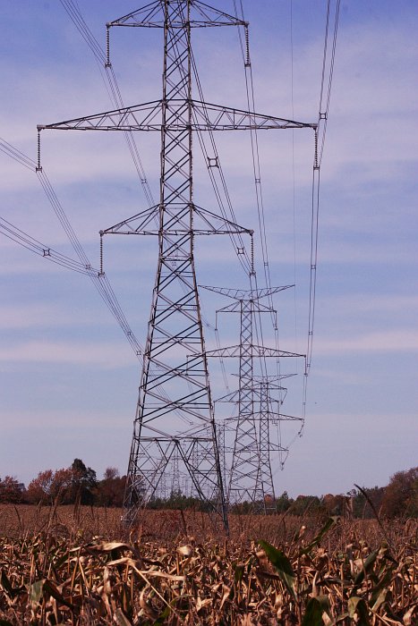
The power lines running roughly east-west:
Part 3:Limehouse Conservation Area, 'Hole in the Wall', and the remains of an old mill along the Black Creek
A slight climb as you leave the 5th line:

The forest just north of the 5th Line:

The ground starts to split into many moss covered fissures:

A good example of a small outlier separate from the escarpment edge:

Another example of a deep fissure:

The ladder at 'The Hole in the Wall':

Bottom of the ladders at the Hole in the Wall:

The path goes under a small rock bridge:

The view back up the escarpment edge:


A small marsh along the Black Creek River:

Just up-river from an old mill on the Black Creek:

A new bridge across the Black Creek at the old mill site, just south of Limehouse Conservation Area:

The last remaining arch of an old mill just south of the Conservation Area:

Heading east along the Black Creek side trail, sloping down towards the river:

